Mine surveying and geodesy department
Scientific work of the department
Direction of the scientific research work: “Control of geomechanical processes in the the open pits”.
Agreements on carrying out the SRW are concluded with the next mining enterprises:
- “Kazakhmys corporation”;
- “Shubarkol komir”;
- “Kazkhrom”;
- “SSGPO”;
- “Zhayremskiy GOK”;
- “Vasilkovskiy GOK”.
The total sum of the money according to the agreements in the last 5 years composed 37,5 mln. tenge.
Results of scientific studies of department during the period since 2005 are reflected in 5 monographs, 1 brochure, 126 articles in different publications and reports of the scientific practical conferences.
15 preliminary patents and the author’s certificates of invention are obtained.
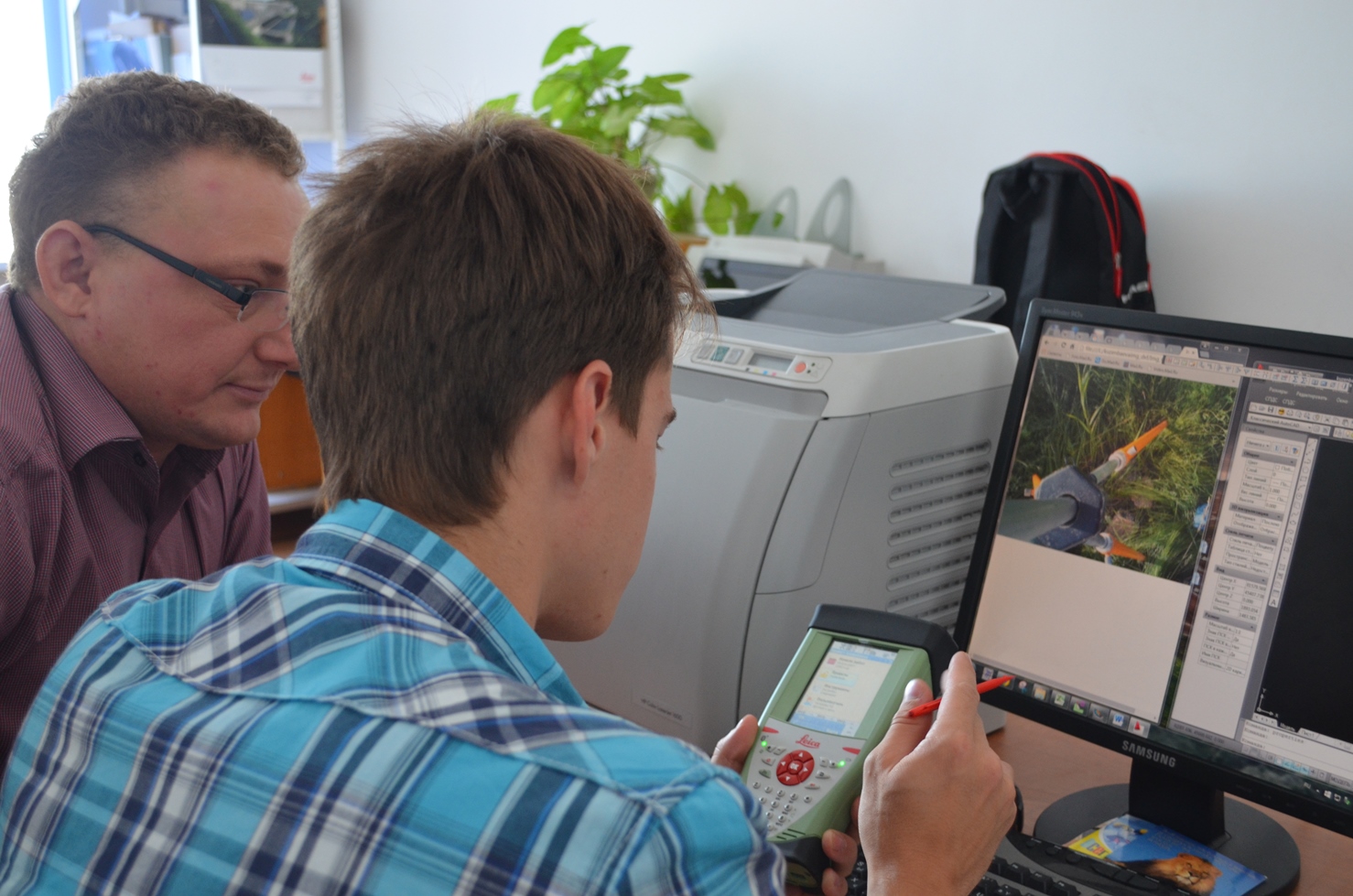
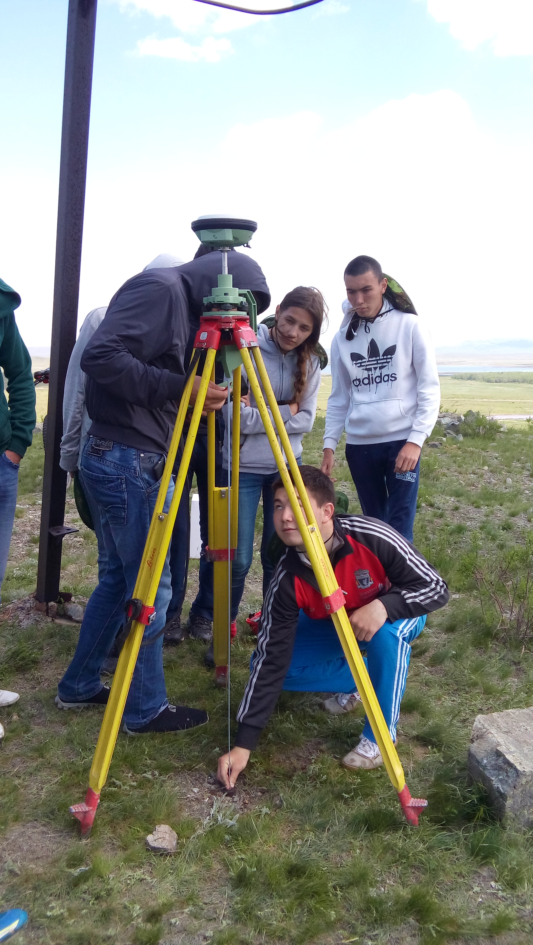
The preparation of theses by graduate students and postgraduate students is conducted on the base of scientific studies. The international seminar of Swiss firm “Leica” on the idea of contemporary geodetic instruments (Mr. Gerbie) is organized on the base of the department.
The department participated in the competitive tenders:
A) on the public procurement of services by the method of competition on the selection of scientific projects according for fulfilling of initiative-taking and risky scientific studies and developments in 2010. – The lot №48, scientific research project on the theme: “The development of mathematical models and software for evaluating the stability of open pit slopes with the development of complex structured layers” (scientific leader Nizametdinov F.K. – Doctor of Technical Science, Prof. head of the MSaG department);
b) to the competition of Grants “the fund of the first President” for conducting of basic and applied scientific research:
– Grants to the trips – Nizametdinov N.F. – Candidate of Technical Sciences, teacher of the MSaG department;
– scientific research project on the theme: “A study of geomechanical processes on the quarries” – Nizametdinov R.F. – Candidate of Technical Sciences, teacher of the MSaG department;
c) conducting purchases by the method of the demand of price proposals for the fulfillment of scientific research work (SRW) on the study of the state of the stability of the slopes in coal strip mine “Zhalyn” at the Zhanaarkinskiy region of Karaganda.
2. The MS&G department was included in consortium and together with Nyugat-magyarországi egyetem (NymE) (Hungary) developed the design claim within the framework of the program tempus 4 on the theme of flexible learning environment in geo informatics (development of the flexible medium of instruction for the specialties of geo-information theory).
In the department function five scientific circles:
- “Surveying instruments” (leader: Prof. Nizametdinov F.K);
- “Geo-information systems” (leader: docent. Ozhigin S.G., the graduate student Olenyuk S.P.);
- “The stability of career slopes” (leader: docent. Ozhigina S.B.);
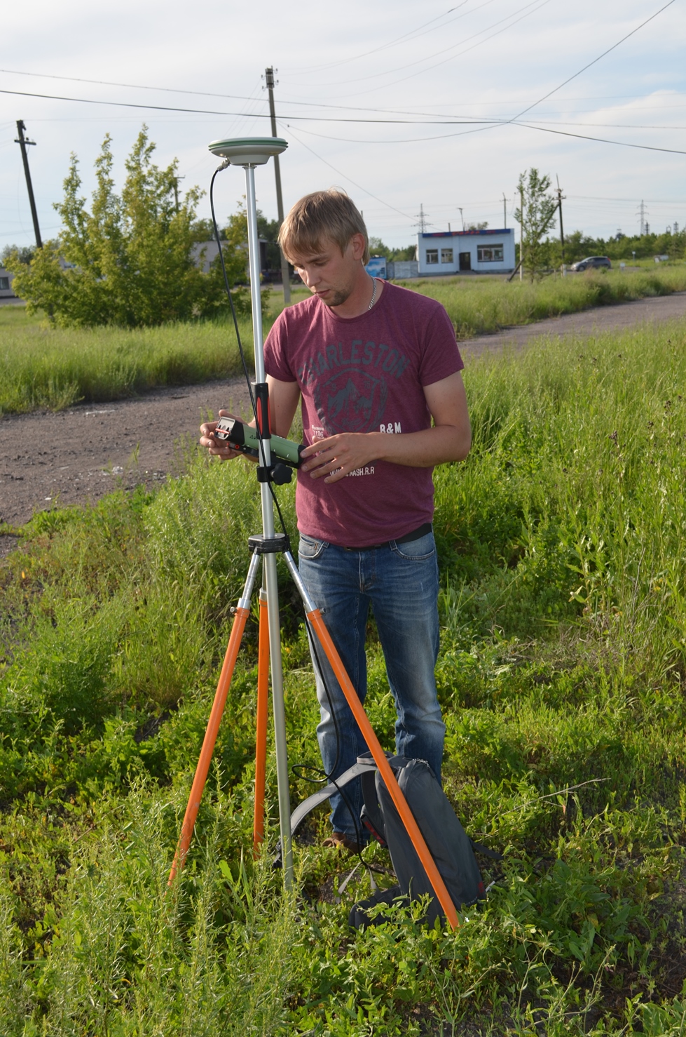
- “The automation of surveying measurements” (leader: docent. Ozhigina S.B., the graduate student Nizametdinov N.F., the senior instructor Toleubekova Z.Z.).
- “Observations of the deformations of buildings and construction” (leader: the senior instructor Khmyrova E.N., the senior instructor Besimbaeva O.G.).
Two scientific circles are conducted in State and Russian language.

The results of scientific studies are used in the training process with the preparation of diploma projects and the fulfillment of course projects on disciplines: instrument science, the shifting of the rocks, the automation of geodetic measurements, geomechanics, and geo-information systems in the mining.
Students actively participate in the scientific research life of department.
The main scientific topics of the department are aimed at ensuring the stability of the slopes of the ledges and sides of the quarries of Kazakhstan, at creating geomechanical monitoring of the instrument arrays of quarries, at introducing digital technologies using 3D scanners in mining and architectural and construction industries.
A new direction is the implementation of research work on the implementation of the state program for the development of digital technologies in topographic and cartographic support of economic sectors using aerial scanning and exploration of the Earth’s surface using satellite images. The annual amount of research funding is about 100.0 million tenge. In scientific terms, the department has close ties with design, research organizations, as well as mining enterprises.